By Mai Lam, Class of 2025
This article is reposted from the The LilyPad. Click to read the original article.
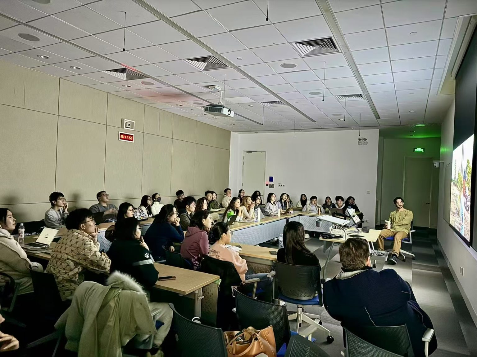
“Mapping tells a story of how humans adapt to and coexist with the environment,” said Leo Baldiga, a PhD student at Michigan State University, as he reflected on his research in Northern Thailand. This insight set the tone for the Drone Mapping Workshop held at Duke Kunshan University (DKU), where participants had the opportunity to explore the intersection of local knowledge, environmental change, and modern technology.
How do we get to where we want to go?
Maps guide us through daily life, from traffic updates to coffee shop searches. For travellers, they uncover local areas, attractions, and hidden gems. But how do we distinguish tourist spots from authentic experiences? Beyond landmarks, map details reveal a place’s deeper layers—hidden parks, local markets, and riverbanks rich with history and culture.
A Fusion of Traditional Knowledge and Natural Resources
On the first day of the workshop, DKU students and faculty were joined by Kunshan locals to learn more about Drone Mapping as a part of Professor Kaley Clements’s MEDIART321: Practices in Digital Humanities course, and was supported by the Center for Study of Contemporary China and DKU Office of Student Experience.
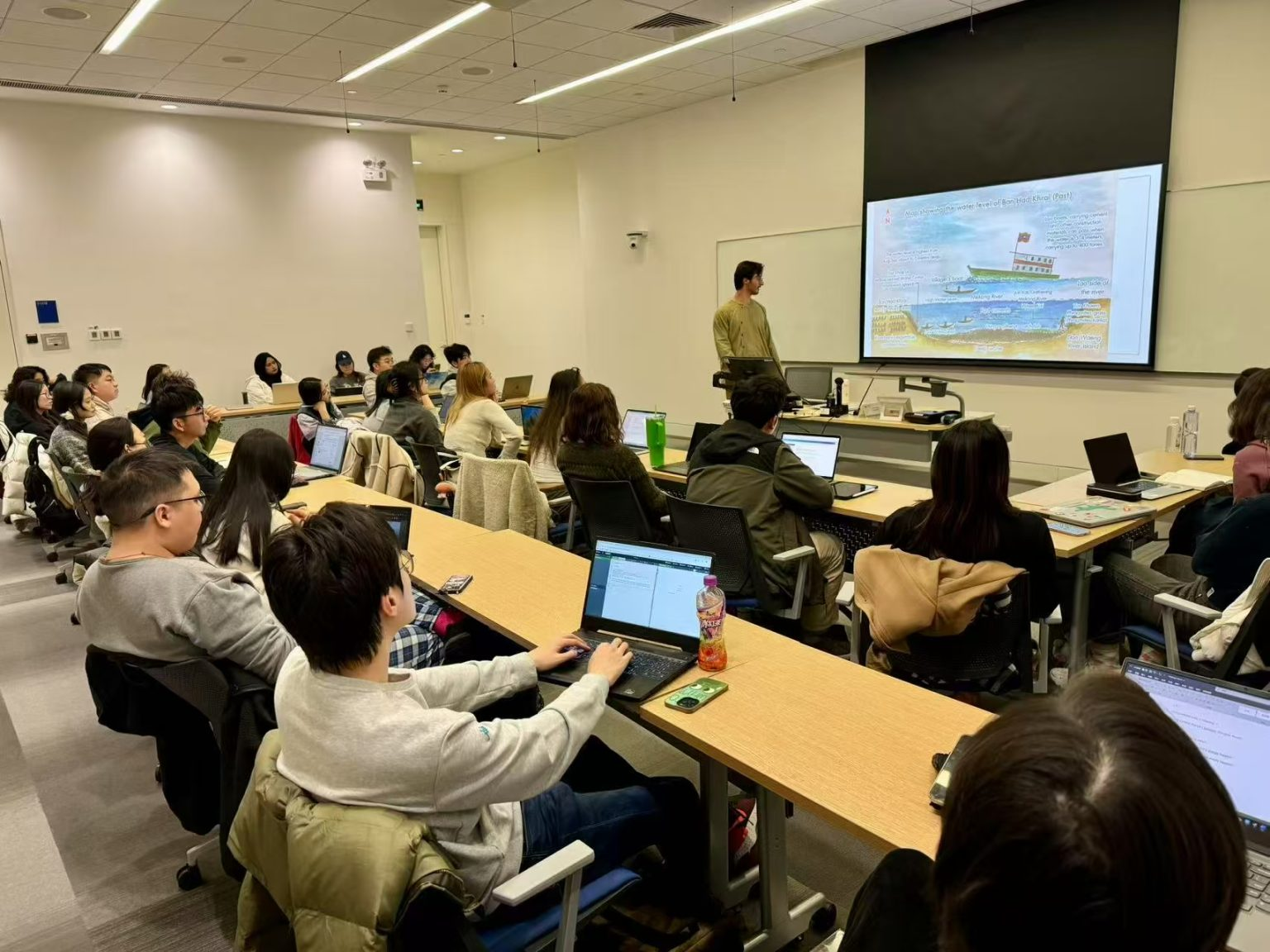
Baldiga’s presentation focused on his work with fishing villages in Thailand, where he collaborates with The Mekong School: Institute of Local Knowledge, an organisation dedicated to preserving the Mekong River. In one initiative, villagers were asked to create simple maps of their surroundings, often depicting areas like fishing spots, water sources, farmland, etc. While these maps were drawn from personal experiences, they revealed more than just geography—they told the story of a community deeply connected to its environment.
A drawing by one village, for instance, demonstrated a fish trap crafted to work with the river’s natural ecology. The traditional fish trap was made of bamboo and placed strategically in the river. “These fish traps reflected an intimate understanding of the river’s flow,” he explained. The trap was a brilliant example of sustainability—simple, yet effective, and finely attuned to the environment.
Uncovering Stories with Hands-On Drone Mapping
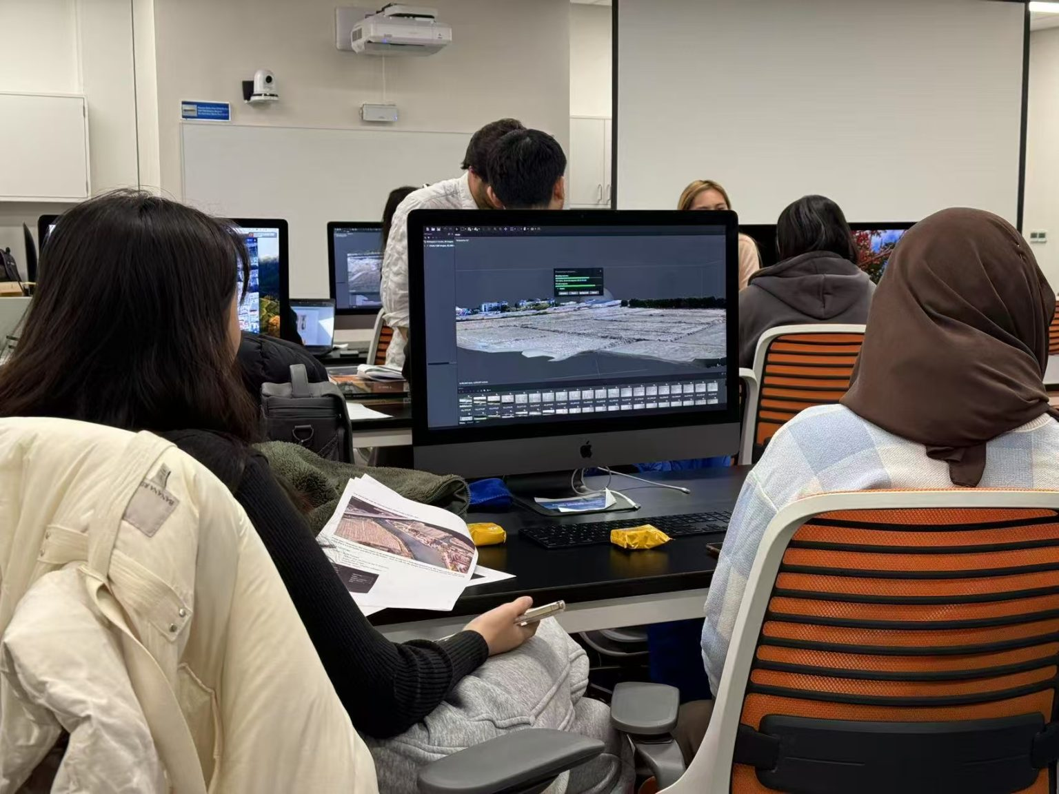
On the second day of the workshop, participants transitioned from theory to practice, exploring the practical applications of drone technology. Equipped with drones, they mapped out flight paths using Dronelink, a platform that allowed them to plan and execute drone tasks based on available satellite data.
Later, Baldiga continued his presentation on how the data collected could serve as a narrative source for various disciplines. Participants learned how to convert their drone-captured data into 3D imagery. Using software such as Adobe Bridge and Metashape, they transformed the raw footage into digital representations of the landscape—bringing natural features into a new, virtual dimension.
The Storytellers
By the end of the workshop, it became clear how effectively technology and local knowledge could complement each other. Baldiga’s talk demonstrated the importance of preserving traditional environmental knowledge. At the same time, the hands-on fieldwork allowed participants to see how modern drone mapping tools could play a crucial role in capturing, preserving, and navigating the natural world.
“Maps are more than just representations of space—they tell the stories of people, their environment, and their relationship with the world around them,” Baldiga concluded. The combination of traditional knowledge with cutting-edge technology can offer a more holistic perspective of the changing world around us, providing new ways to address the challenges posed by rapid environmental changes.
This workshop at DKU successfully highlighted how local knowledge and modern mapping technologies can come together to tell a story about sustainability, adaptation, and the future of our natural world.